






- Feel Good
- 9th Oct 2026
- 0
- 0 minute
High Life North Hikes: St Oswald’s Way packs Northumberland into one walk, Holy Island to Hadrian’s Wall
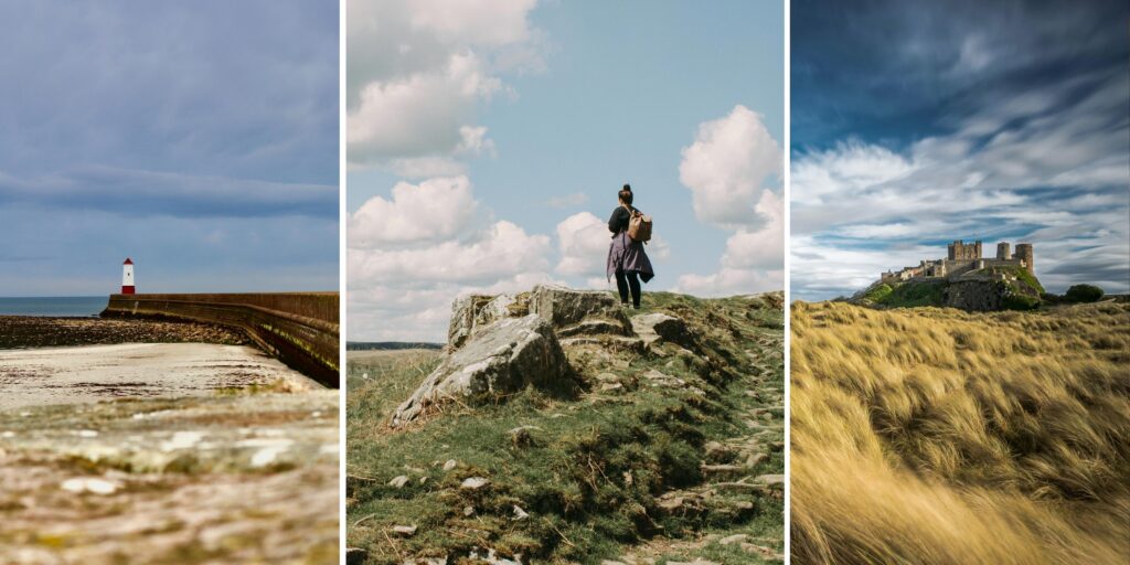
Distance: 96 miles, split into six sections
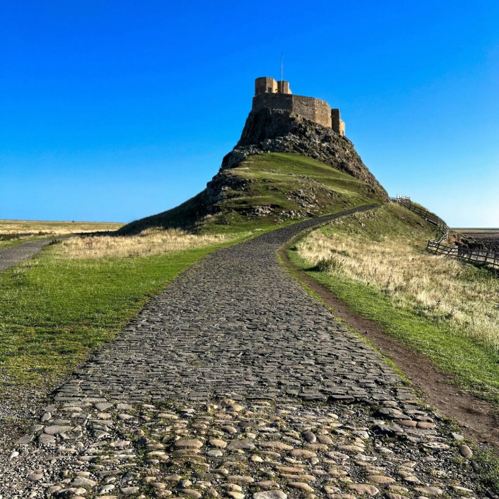
Start: Lindisfarne Priory, Holy Island
Finish: Heavenfield, Hadrian’s Wall
Difficulty: Easy to challenging, depending on the section
Best for: Day walks, short breaks or a full long-distance challenge
Before you set off: Check Holy Island causeway safe crossing times
St Oswald’s Way turns 20 this year, and there’s no better excuse to lace up your boots.
Opened in 2006, the 96-mile trail runs from the Holy Island of Lindisfarne to Heavenfield on Hadrian’s Wall, linking places tied to St Oswald, the seventh-century King of Northumbria who helped bring Christianity to the kingdom and its people.
In between, it packs in castles, beaches, river valleys, heather moorland and more than 1,300 years of history. And here’s the good news. You don’t have to walk all 96 miles to discover what makes it special.
SIX SECTIONS, SIX SIDES OF NORTHUMBERLAND
Few walking routes capture quite so many sides of Northumberland in one journey. The Way follows the coast south from Holy Island before turning inland through river valleys, farmland, woodland and open hill country.
It’s split into six sections: Holy Island to Bamburgh, Bamburgh to Craster, Craster to Warkworth, Warkworth to Rothbury, Rothbury to Kirkwhelpington and Kirkwhelpington to Heavenfield. Each one works as a day walk in its own right, so you can pick one, string a few together for a short break or take on the lot. Here’s what to expect along the way.
HOLY ISLAND TO BAMBURGH: START WITH THE TIDE
The trail begins at Lindisfarne Priory, and your first job is crossing back to the mainland when the tides allow. From there, the route heads through the Lindisfarne National Nature Reserve before winding through woodland and open countryside.
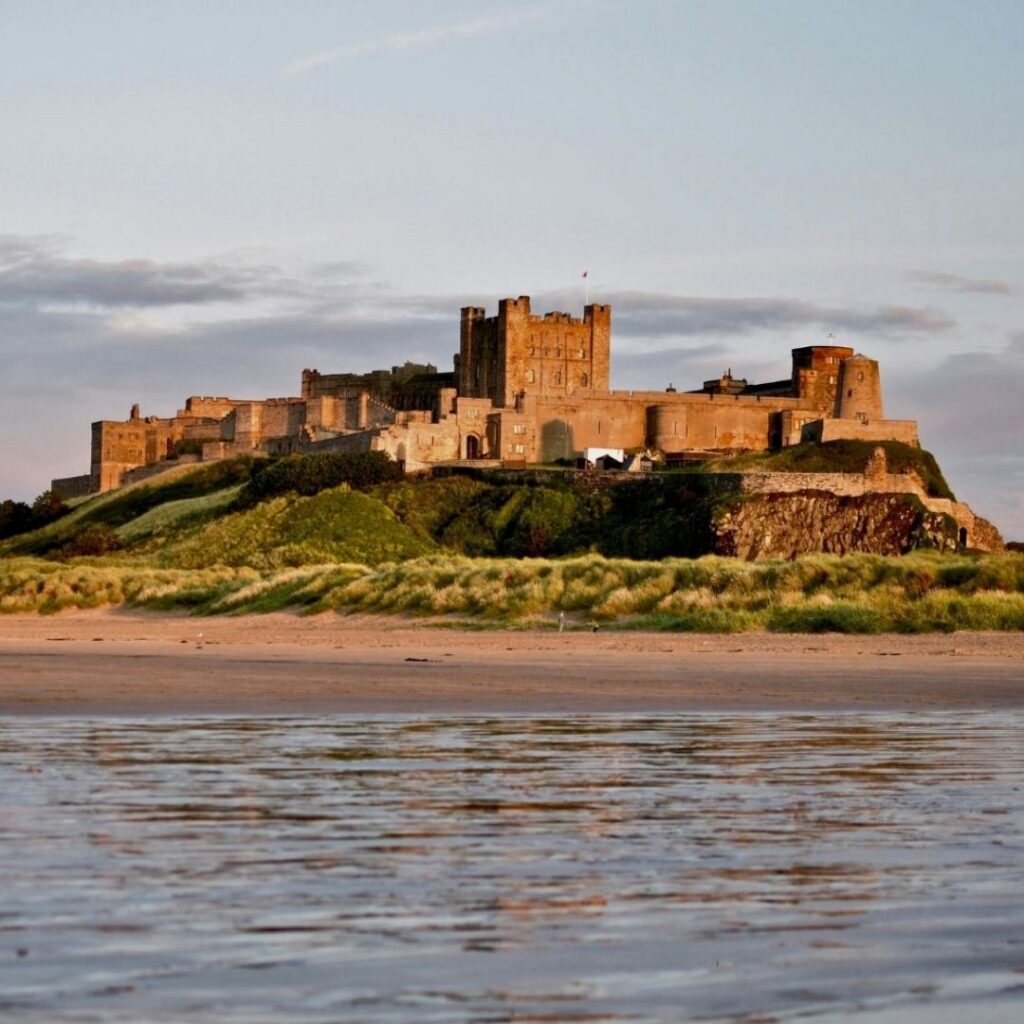
It meets the coast again at Budle Bay, then finishes in Bamburgh beneath the unmistakable outline of Bamburgh Castle. As opening acts go, it’s hard to top.
BAMBURGH TO CRASTER: THE CASTLE COAST UP CLOSE
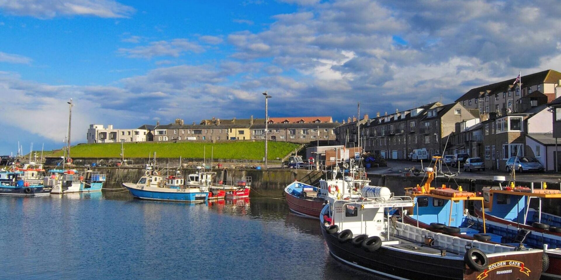
This is St Oswald’s Way at its most recognisable. From Bamburgh, the trail heads to Seahouses, Beadnell and Low Newton-by-the-Sea before tracing the coast to the ruins of Dunstanburgh Castle and the fishing village of Craster.
Expect beaches, dunes, huge skies and long views out to sea, with the Farne Islands sitting just offshore. You might know this stretch from the car window, but on foot it feels like a different landscape entirely.
CRASTER TO WARKWORTH: THE COAST YOU’D MISS BY CAR
From Craster, the route continues south through Howick and Boulmer before reaching Alnmouth and, eventually, the River Coquet at Warkworth. It mixes some of the county’s best-known scenery with quieter spots that are easy to drive straight past.
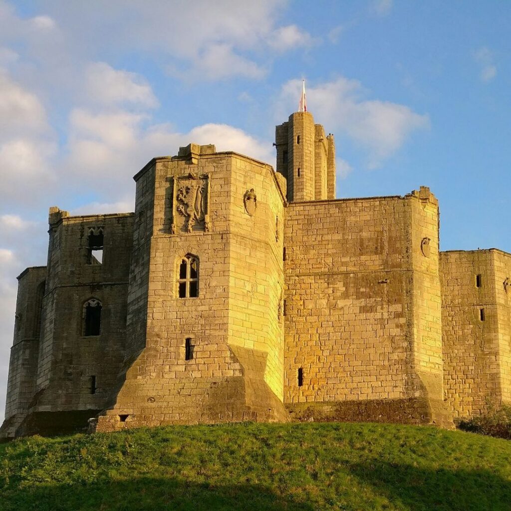
You’ll walk along beaches at several points, alongside coastal dunes and estuaries and through historic settlements, before arriving beneath another of Northumberland’s great landmarks, Warkworth Castle.
WARKWORTH TO ROTHBURY: SWAPPING SEA VIEWS FOR THE COQUET
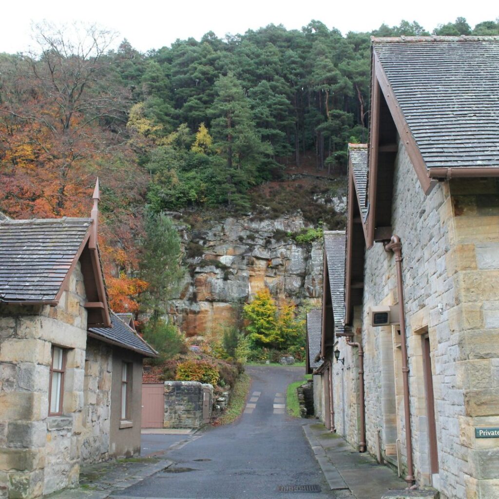
At Warkworth, the Way leaves the coast behind and follows the River Coquet inland through Felton, along woodland and riverside paths and close to Brinkburn Priory, before crossing rolling farmland to Rothbury.
This is where the route’s personality shifts. Wide beaches give way to the wooded riverbanks, farms and villages of Coquetdale. If you know the coast well but haven’t explored much of inland Northumberland, this section’s a real eye-opener.
ROTHBURY TO KIRKWHELPINGTON: INTO THE WILD
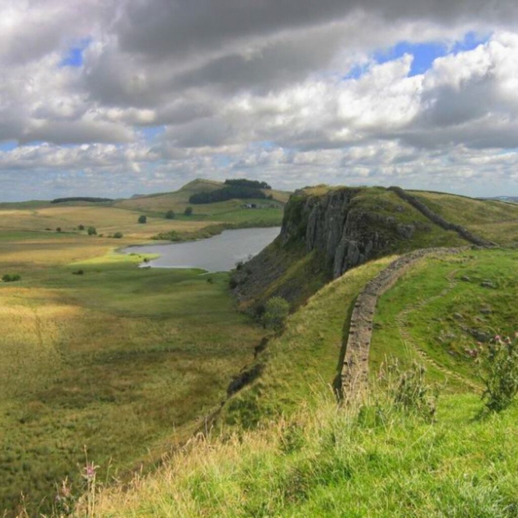
Leaving Rothbury, the Way heads into its most remote countryside. It crosses into Northumberland National Park, passing the ancient landscape around Lordenshaws before climbing onto the heather-clad Simonside Hills and continuing through Harwood Forest towards Kirkwhelpington.
It feels a world away from Holy Island, yet it’s all the same trail. In a few days, you can go from tidal sands and castles to moorland and quiet upland country. It’s the most remote stretch of the route, so pack plenty of water and snacks.
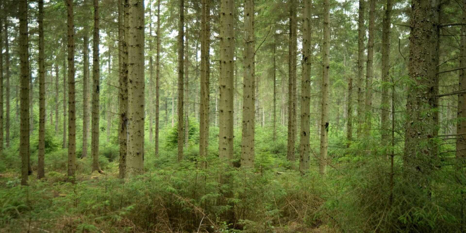
Image credit: Forestry England
KIRKWHELPINGTON TO HEAVENFIELD: A FITTING FINISH ON THE WALL
The final section crosses rolling farmland and small settlements before meeting the Hadrian’s Wall Path. From there, you follow the Roman frontier west to Heavenfield, a place at the heart of St Oswald’s story.
St Cuthbert might be the saint most people link with Northumberland, but Oswald’s story runs just as deep through its landscape. Walking the Way lets you discover that history where it happened, through the castles, villages, churches and hills that still shape the county today.
SHORTER WALKS FOR EVERY PACE
Not up for a full day? There’s a handful of shorter walks linked to the Way, including coast, countryside and easy-access options. They’re a great way to get a taste of the landscape without committing to a long hike, which makes St Oswald’s Way as handy for a Northumberland day out as it is for your next long-distance challenge.
THE VOLUNTEERS KEEPING THE WAY ON TRACK
Twenty years on, the route is still cared for by the St Oswald’s Way Management Group and a team of volunteers who give their time to look after it. Their work ranges from checking waymarking and supporting walkers to promoting the trail, working with local organisations and developing new interpretation at key locations.
It’s thanks to them that walkers will keep enjoying these landscapes, and understanding their history, for years to come.
PIT STOPS ALONG THE WAY
With fishing villages dotted along the first half of the route, you’re spoilt for refuelling stops. Craster is famous for its kippers, and The Ship Inn at Low Newton-by-the-Sea makes a cracking halfway break on the castle coast stretch.
BEFORE YOU GO
Always check the Holy Island causeway safe crossing times before setting off on the first section. The official St Oswald’s Way guidebook is printed locally and available from Northern Heritage, and you’ll find maps and route information on the St Oswald’s Way website.
Fancy something shorter for your next weekend? Try our Thrunton Woods walk with Cheviot views and a pint at the end.



Molly Ferry
CONTENT ASSISTANT
Subscribe
Subscribe now to receive our twice-weekly emails and exclusive offers for High Life North readers.